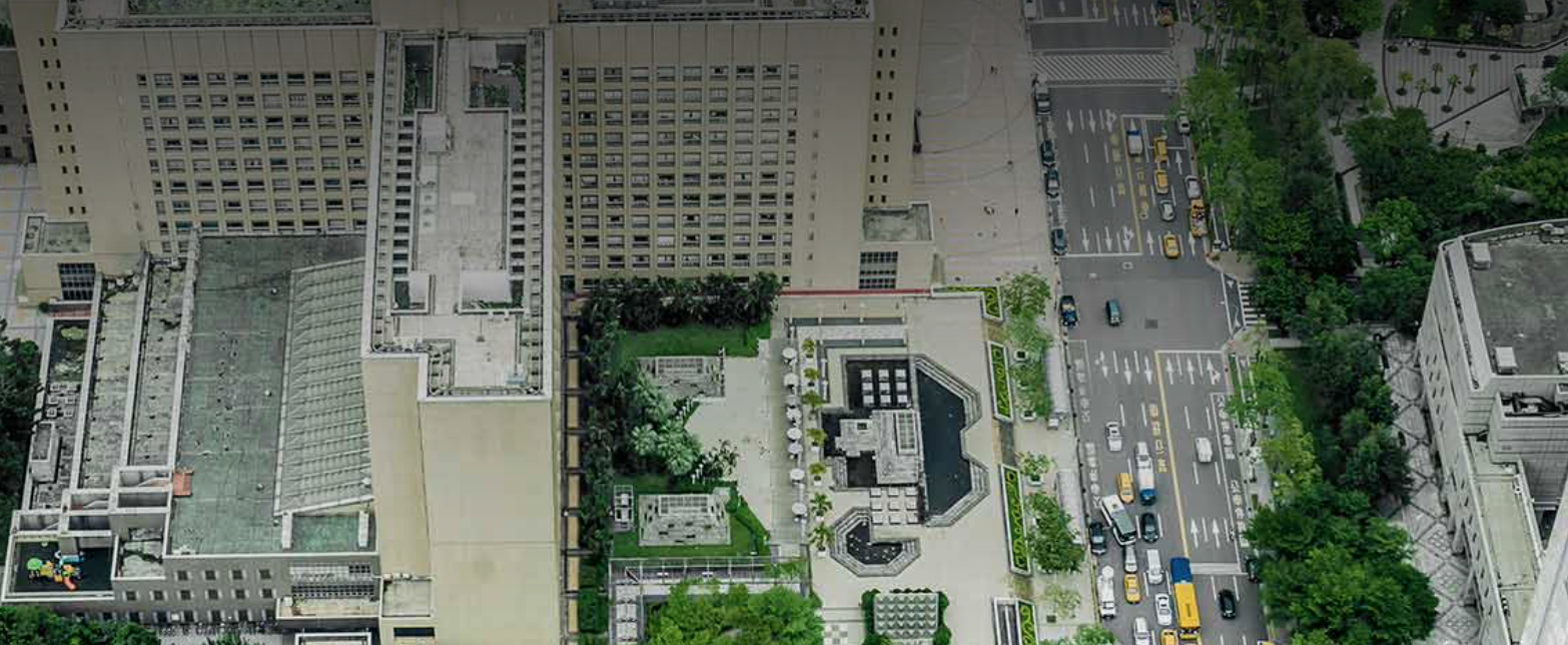
urban planning
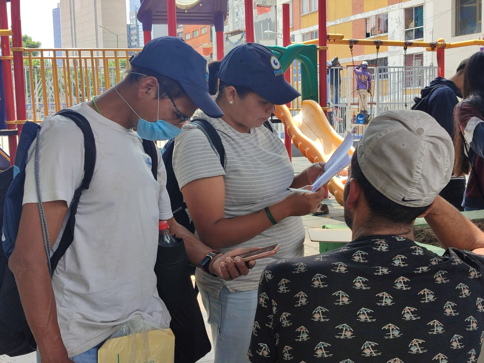
Co-created Citizen Science
Citizen Science that is co-created with stakeholders and citizens to support the design, implementation, and outcomes of a project.
Supporting climate-resilient urban planning: 10 lessons from cities in southern Africa
This brief presents key insights on integrating climate information into climate change-related adaptation planning in African cities.
Coastal climate impact analysis and sanitation hazard assesment framework
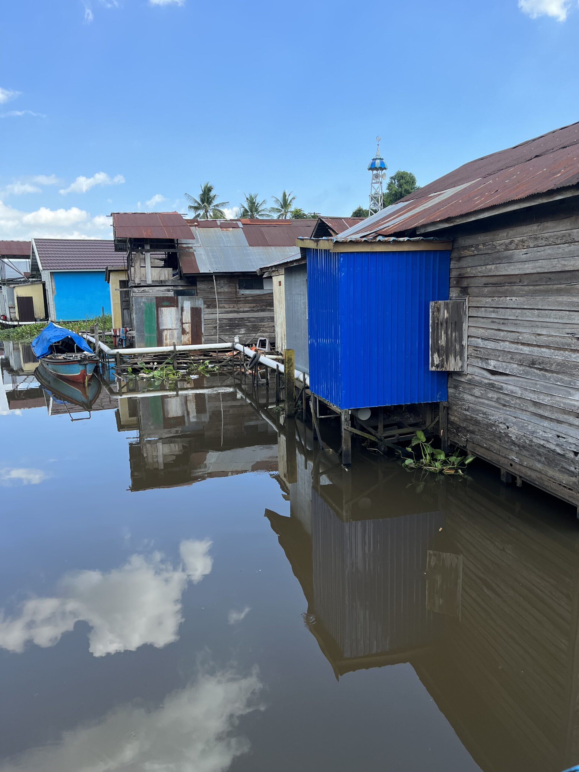
In low- and middle-income countries, current urban sanitation services often struggle to safely contain and treat human waste for a variety of reasons. Sea level rise and the associated increase in storm surges will add further complexity to urban sanitation service planning in these settings. Planning for sea level rise is needed to ensure the future reliability of these services and can be a catalyst for upgrading neglected sanitation services.
This handbook provides stepwise guidance for facilitating authorities responsible for citywide sanitation services to develop an adaptive action plan for ensuring the resilience of their city’s sanitation services to the impacts of sea level rise.
This handbook provides stepwise guidance for facilitating authorities responsible for citywide sanitation services to develop an adaptive action plan for ensuring the resilience of their city’s sanitation services to the impacts of sea level rise.
Locally Led Planning: A Guide for Building Climate Resilience in Urban Informal Settlements
Discover resources for locally-led, inclusive, multisectoral upgrading for climate resilience in urban informal settlements in this guide. It aims to support a range of stakeholders to both build climate resilience in informal settlements and link locally led action with broader processes of urban and climate governance.
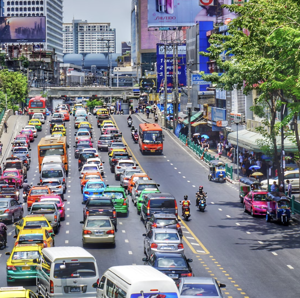
Cities and climate change – UN CC:e-Learn short course
Discover how cities are being affected by, and contributing to climate change in this online UN CC:e-Learn course. Learn about how climate change adaptation and mitigation can be considered in urban planning, and find links to other UN resources on climate change for more in-depth and specific information.

Assessing Inequalities in Wellbeing at a Neighbourhood Scale in Nakuru, Kenya and Udon Thani, Thailand
Learn about how surveys were used to explore wellbeing in two low-middle income country cities: Nakuru and Udon Thani. Discover city characteristics that improve wellbeing and promote long-term livability.
Wellbeing Surveys
Discover how survey tools can be applied in different geographical and cultural contexts to explore health and wellbeing. This page will introduce a range of external surveys and demonstrate their use in urban environments through SEI case studies.
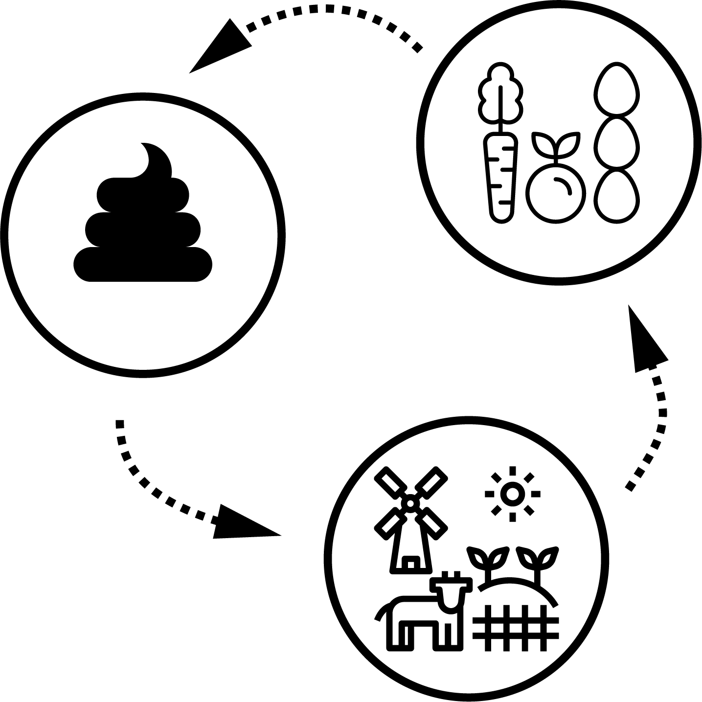
EGESTABASE Tool
Learn about EGESTABASE, an emerging online platform that aims to comprehensively map scientific evidence on the recovery of nutrients from human excreta and municipal wastewater for reuse in agriculture. The online platform helps you discover different innovative approaches and studies that exist, and use this evidence to inform decision-making processes.

B.Green Handbook
The B.Green project aims to develop a model for digital and participatory urban planning that promotes the pre-planning of multifunctional green infrastructure solutions in the Baltic Sea region.

Resource Value Mapping (REVAMP) Tool
This tool uses data on waste streams to estimate total resources and reuse potential in a city's wastewater, enabling city planners and policymakers to better make decisions on urban waste management.