MapStakes: A tool for co-creation processes
This is a five-step tool that helps users define system boundaries; identify, map and involve stakeholders; and monitor the engagement process.
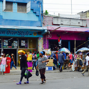
Caribbean communities on the front lines of climate change adaptation
This analysis from CDKN identifies a series of approaches to help community-level organisations to increase climate resilience in the Caribbean.
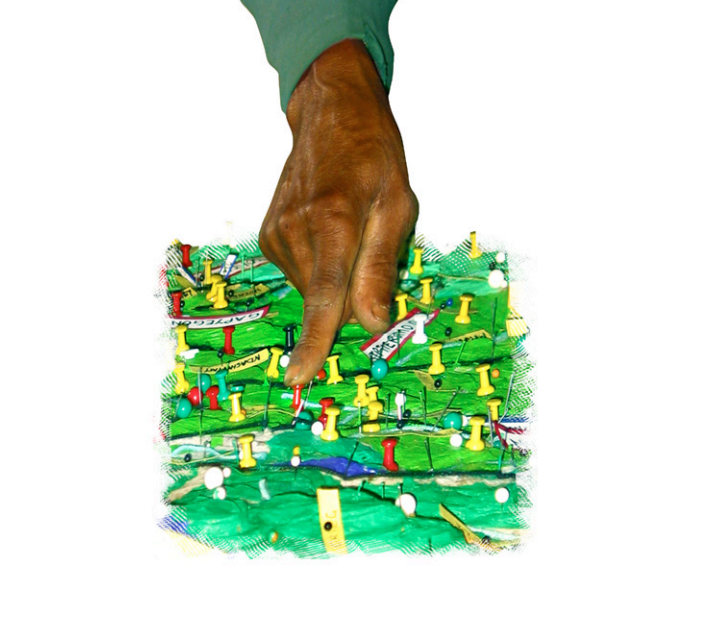
Participatory 3-Dimensional Modelling
Participatory 3D modelling (P3DM) is a participatory mapping method integrating indigenous spatial knowledge with elevation data to produce stand-alone, scaled, and geo-referenced 3D models.
Mapping of social networks
Our social network maps provide a model of the links between significant individuals involved in key stages of the disaster planning, response and recovery phases.
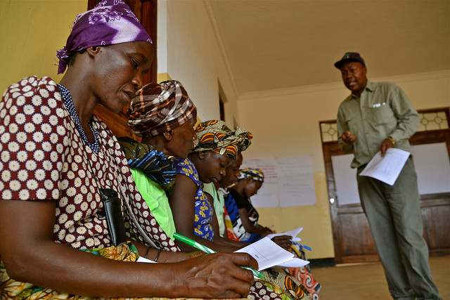
Climate information services
A collaborative project trains communicators to disseminate climate information services and advisories to smallholder farmers.
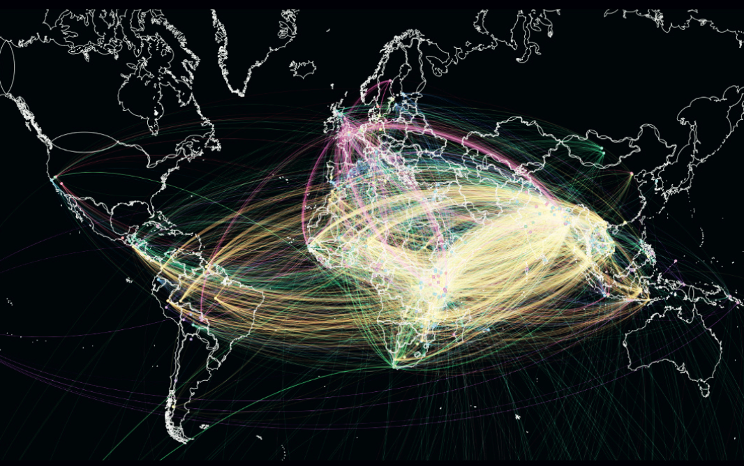
Visualizing connections: Mapping the landscape of adaptation research and practice through weADAPT
This working paper describes a collaborative project to visually map climate change adaptation research and networks based on semantic tagging in weADAPT.
Rios del Paramo al Valle
Water Resources Planning through Climate Change Capacity Building: Rios del Paramo al Valle, por urbes y campinas
PARA-Agua - Quilca-Chili
The Quilca-Chili basin analysis is part of the Partnering for Adaptation and Resilience - Agua (PARA-Agua) or "For Water" project in Latin America.
PARA-Agua - Chinchina
The Chinchina basin analysis is part of the Partnering for Adaptation and Resilience - Agua (PARA-Agua) or "For Water" project in Latin America.
How can irrigated agriculture adapt to climate change
This paper illustrates a systematic analysis of climate change adaptation in the Guadiana irrigation farming region.
Delta Api Bali
Participatory mapping
Delta Api Bali is a collaborative participatory mapping project for climate change adaptation in Bali. Participatory mapping by villagers is a...
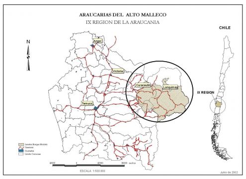
Análisis del contexto socio-institucional Bosque Modelo Araucarias de Alto Malleco
Este artículo sintetiza los resultados de un estudio que analiza el contexto socio-institucional en el Bosque Modelo Araucarias de Alto Malleco en los territorios de Lonquimay y Curacautín de Chile
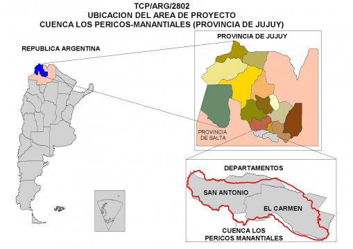
Análisis del contexto socio-institucional del Bosque Modelo Jujuy
Este artículo sintetiza los resultados de un estudio que analiza el contexto socio-institucional en el Bosque Modelo Jujuy en Argentina, dentro del marco del proyecto EcoAdapt. El...
Análisis del contexto socio-institucional del Bosque Modelo Chiquitano
Este artículo sintetiza los resultados de un estudio que analiza el contexto socio-institucional en el Bosque Modelo de la Chiquitanía, en Bolivia, dentro del marco del proyecto...
Politics and policy processes
This following pages provide resources which are relevant to the analysis of politics and policy processes including cross-scale and multi-level interactions.
ATK Resource Mapping Tool
Describing the resource mapping method where participants construct a map illustrating the main natural and physical resources of the site.
Participatory 3D modelling in the BoeBoe community, Choiseul, Solomon Islands
In the Solomon Islands, the BoeBoe community is utilizing a participatory 3D modeling tool to help spur discussions on possible climate change issues.
Más allá de un mapeo de actores en el Bosque Modelo Chiquitano, Bolivia
This article is in Spanish, but if you would like to view it in a different language please use the drop down list of languages at the top right of the page. You may have to update your browser to...
Social network mapping in the Guadiana river basin, Spain
Developing a social network map to frame adaptation action in the Guadiana river basin, Spain
Identifying and Analysing Stakeholders
Through a case study approach, based on studies of two Swedish urban regions this paper proposes a systematic method to analyze and identify stakeholder roles and responsibilities in adaptation.
Mainstreaming EbA in Belize
This project looks at the role of ecosystems in meeting the inter-linked challenges of climate change adaptation and development in Belize, and to investigate the governance changes required.
South Kenya Coast study sites
A map and description of the study sites for the WD-NACE activities conducted on the South Kenya Coast
Pages