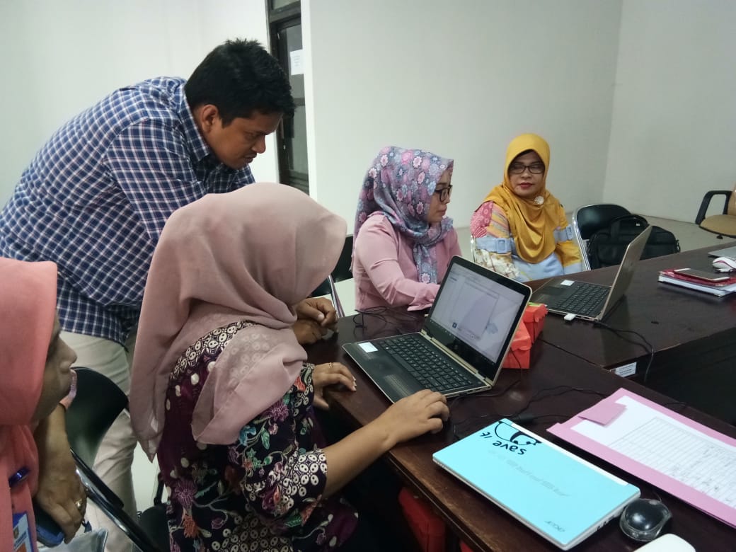
Using GIS for disease mapping in Ambon City
Adaptation plans for the health sector required public access to data about malaria and dengue risk but staff lacked mapping skills. Training in GIS mapping proved successful in Ambon City
Survey Engineering and GIS Maps Association
Survey Engineering and GIS Maps Association (SEGMA) in Hargeisa, Somaliland (North of Somalia) is a business endeavor aiming at serving the needs of the national and regional marke
Prairie Climate Centre
The Prairie Climate Centre is a collaboration of the University of Winnipeg and the Internati
Flood vulnerability and risk in the Bénin Niger River valley
In recent decades, flood disaster is threatening human security in West Africa, particularly in the Niger River basin.The study addresses flood vulnerability and risk in the Bénin Niger River Valley
