Geographic information system
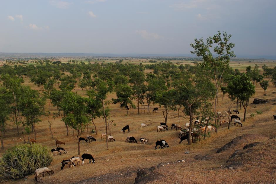
Identifying hotspots in land use land cover change and the drivers in a semi-arid region of India
This paper used satellite images and data to identify areas in semi-arid India that have experienced land use and land cover changes over the last 3 decades and explores their potential drivers
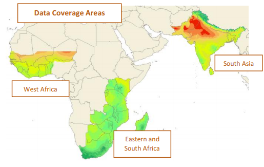
Weather Data Platform for Improved Agriculture and Climate Adaptation
aWhere Weatherprovides users with a powerful research and decision-making tool for use in agricultural development and environmental initiatives.
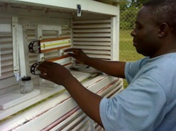
Climate Data Capture and Management in the Lake Chilwa Basin: Status, Challenges and Opportunities
This study analysed the capacity of 20 weather observation stations in providing reliable and adequate climate data for effective climate change adaptation in the Lake Chilwa Basin, Malawi.
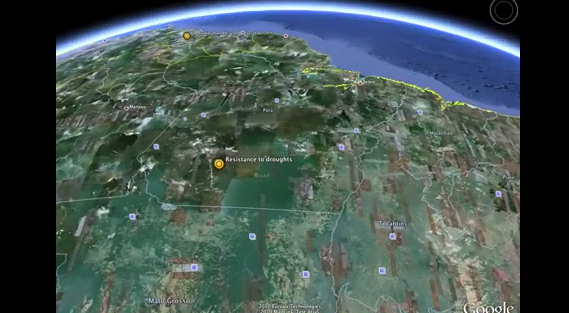
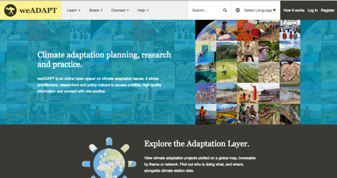
The weADAPT Adaptation Layer for Google Earth
Working with Google Foundation the prototype has been redesigned to be an integral part of the weADAPT platform for climate change adaptation.