Climate Change Vulnerability Assessment and Adaptation in Greater Banjul – Gambia
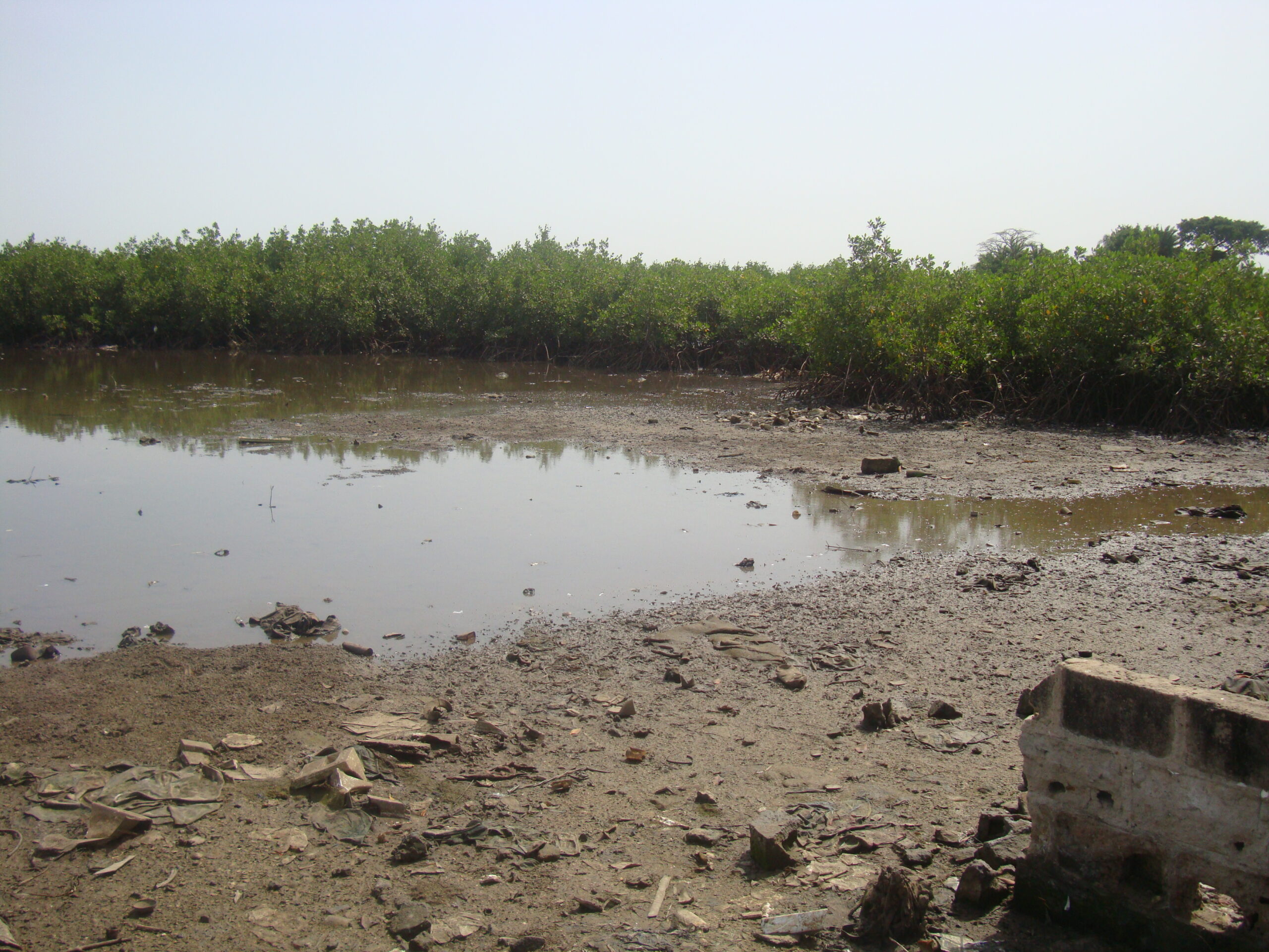
A wetland with mangrove forest in Greater Banjul
Summary
The Gambia has sensitive natural resources such as forests, woodlands, range lands, water resources, offshore islands, sandy beaches and wetlands. These are exposed to three main climate hazards which are; sea-level rise, increasing temperature and erratic rainfall patterns. Just like other West African coastal cities, the location of Gambia’s capital Banjul makes it susceptible to the impacts of climate hazards.
Through the support of the Climate Change Capacity Development project (C3D+) which is being managed by UNITAR, ENDA- Energy, Environment & Development in joint collaboration with the Stockholm Environment Institute developed a toolkit for climate change vulnerability assessment and adaptation planning. These were tested through a case study conducted in the Greater Banjul Area of Gambia to access how vulnerable inhabitants are to climate change impacts and also lead them to develop some adaptation action and refined for use by local researchers and adaptation practitioners.
(0) Comments
There is no content