Application of GIS and Remote Sensing for Environment and Flood Risk Management in Central Viet Nam
Adaptation challenge
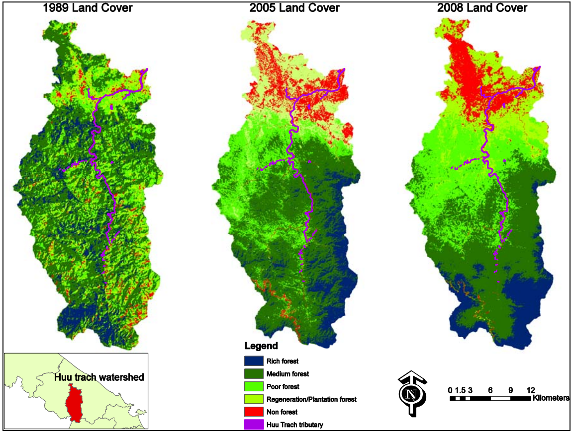
This project was carried out to assess and implement new methods or review existing methods of categorising land use in the Mekong areas of Viet Nam. It specifically looks at the links to flooding and the changing uses of the land.
Expected outputs
The aims of this project can be summarised as follows: • To ascertain land use in these areas and how it has changed over the years since 1989. • To determine if these changes in land use have had an effect on flooding, and, if so, then by how much. • To establish the reasons for the changes to the land use that has taken place, looking specifically at socioeconomic factors that determine land use changes. • To identify methods that manage the land effectively and balance economic interests, environmental protection and flood prevention.
Timescale of project
2009
Scope
Vietnam
Focal point
Agus Nugroho
Partners
Phong Tran
Hue University
(0) Comments
There is no content