Network
SEI Urban Toolbox for Liveable Cities

Using MapStakes to increase the inclusivity of smart city planning in Khon Kaen, Thailand
Discover how MapStakes can be used to make smart city planning more inclusive. This policy toolkit discusses how the approach can help ensure stakeholder representation, as well as improve an understanding of which stakeholders are most affecting, and being affected by, smart city developments.

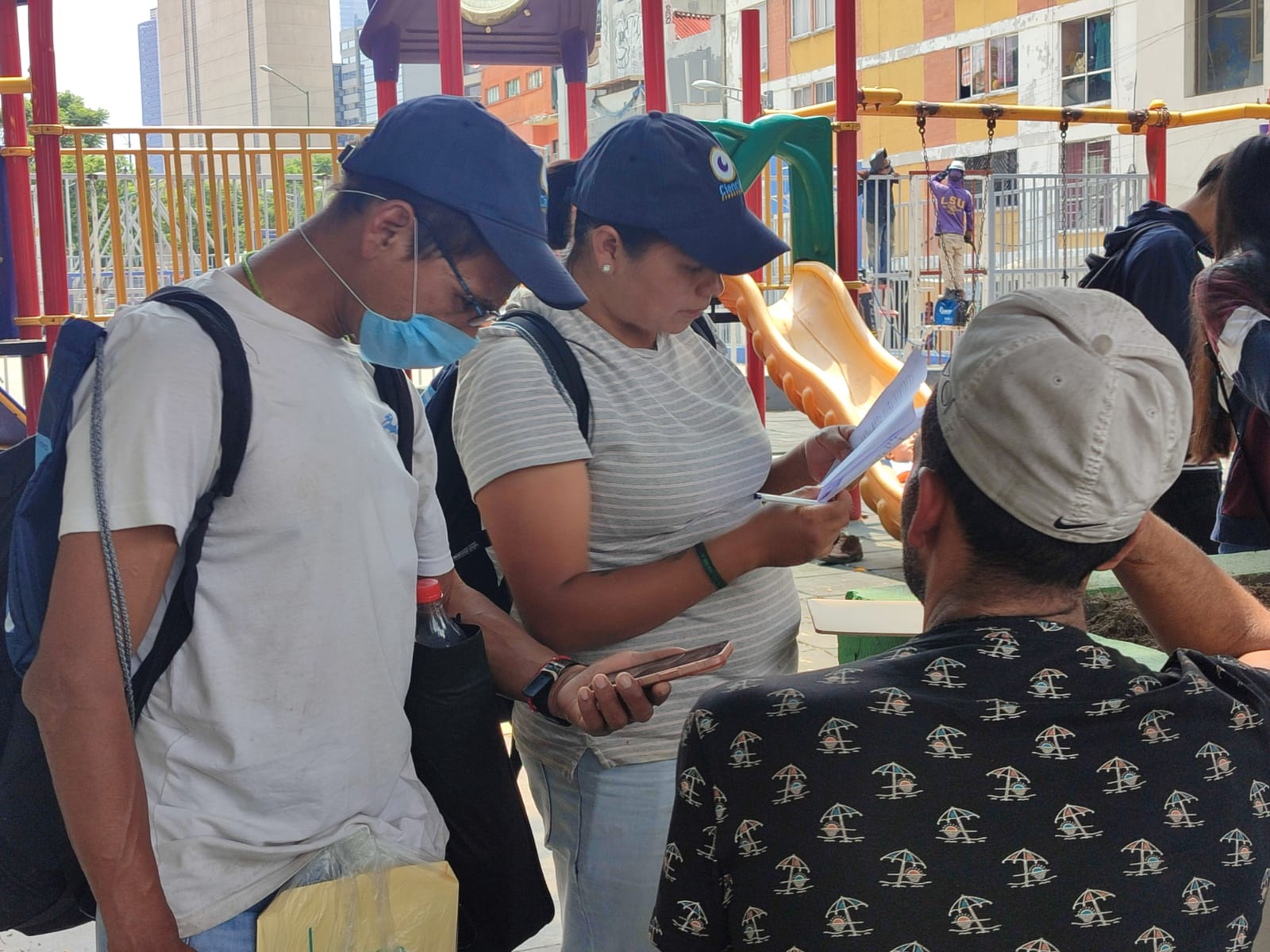
Using citizen science to identify the water and sanitation needs of homeless populations in Mexico City
This case study demonstrates how citizen science can be used to identify the water and sanitation needs of homeless populations in Mexico City.
Co-created Citizen Science
Citizen Science that is co-created with stakeholders and citizens to support the design, implementation, and outcomes of a project.
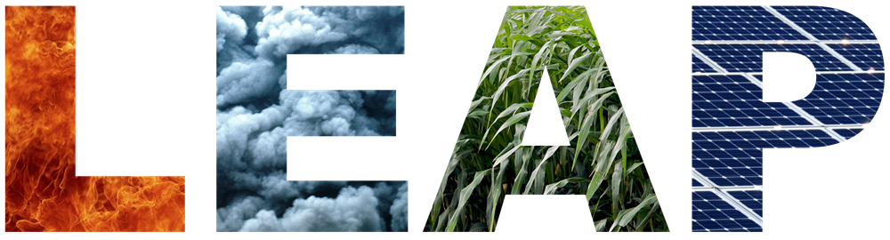
Using LEAP to achieve Green House Gas (GHG) reduction targets
This case study uses the Low Emissions Analysis Platform (LEAP) Tool to create a model of Vermont to explore scenarios that achieve the Green House Gas (GHG) reduction targets for 2025, 2030 and 2050 set out in the state’s Global Warming Solutions Act.
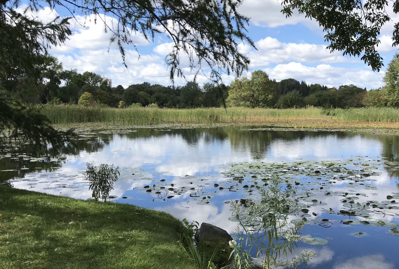
Using OPAL surveys to assess local water quality in the UK
Discover how the OPAL Water Survey investigated water quality across the UK and learn about what invertebrate indicator species can tell us about pollution levels in water bodies. This approach can be used to investigate potential influences of urban areas on water quality and thus resilience to environmental changes.
Using OPAL surveys to explore the effects of urbanisation on invertebrate biodiversity in the UK
Learn about how a nation-wide survey and citizen science approaches can be used to better understand the relationship between urbanisation, vegetation and invertebrate diversity through the lens of the Bugs Count survey implemented in the UK.
Using music as part of the Tupumue project to raise awareness of lung health
This musical case study uses a song and music video to highlight the importance of lung health in Nairobi.

Using WEAP as a decision support system for sustainable water supply planning
This case study uses the Water Evaluation and Planning (WEAP) Tool as a decision support system for sustainable water supply planning in the United States.
Using WEAP to create integrated water resource management tools
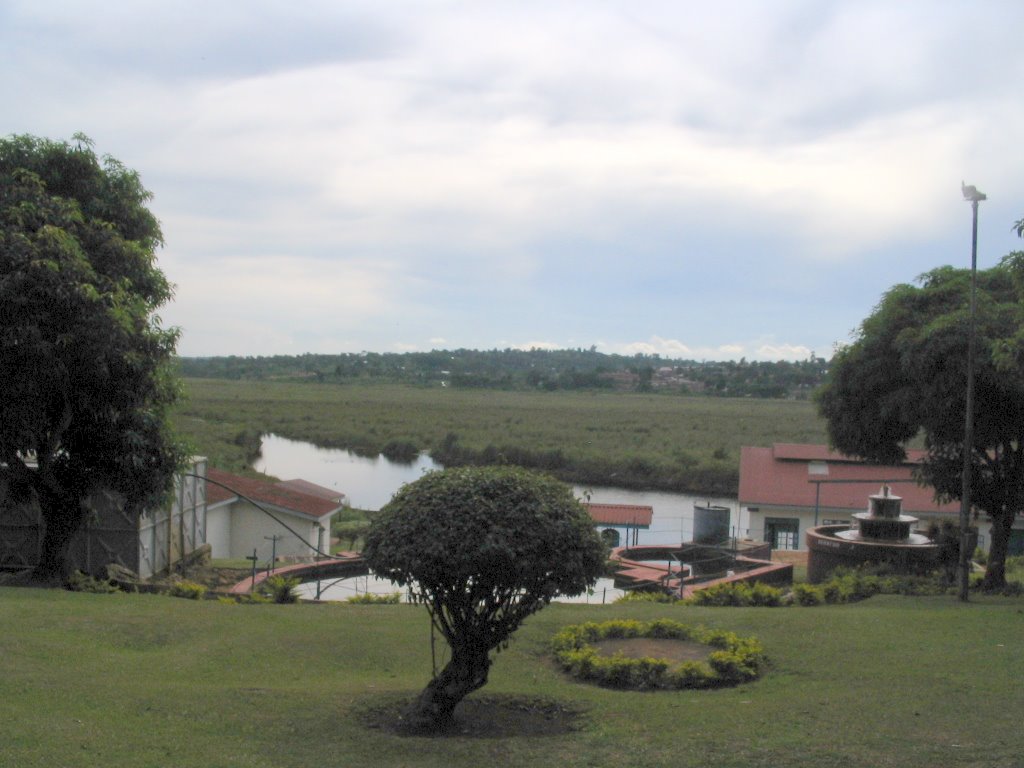
This case study uses the Water Evaluation and Planning (WEAP) Tool to create integrated water resource management tools for three towns in the Lake Victoria region.
Water Evaluation and Planning (WEAP) Tool
WEAP (Water Evaluation and Planning) is a software tool for integrated water resources planning. It provides a comprehensive, flexible and user-friendly framework for policy analysis.