emBRACE highlights: Google Earth Flyover for Northern England
Check out this Google Earth Flyover video for the emBRACE case study Northern England in the UK
Summary
This Google Earth flyover tour is part of the emBRACE project; Building Resilience Amongst Communities in Europe.
The primary aim of the emBRACE project is to build resilience to disasters amongst communities in Europe. To achieve this, it is vital to merge forces in research knowledge, networking and practices as a prerequisite for more coherent scientific approaches. This we will do in the most collaborative way possible.
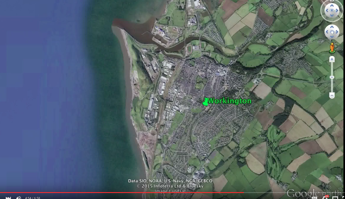
This virtual ‘fly-over’ forms part of the case study site in Northern England, in the UK. It is a narrated video illustrating the geospatial context of the study of community resilience to flooding in the Cumbria catchment.
[video:https://youtu.be/R4fZ5Wb_LZA]
(0) Comments
There is no content