Articles
Find the latest articles on climate change adaptation and related issues.

The impact of COVID-19 fiscal spending on climate change adaptation and resilience
New research from the University of Oxford analyses 8,000 government policies across 88 countries to reveal how Covid-19 recovery spending contributed to climate adaptation and resilience.

Adaptation at Altitude – Taking Action in the Mountains
Watch this short documentary in which the Adaptation at Altitude (A@A) team explains the global team's mission and motivation for addressing adaptation issues in the mountains.
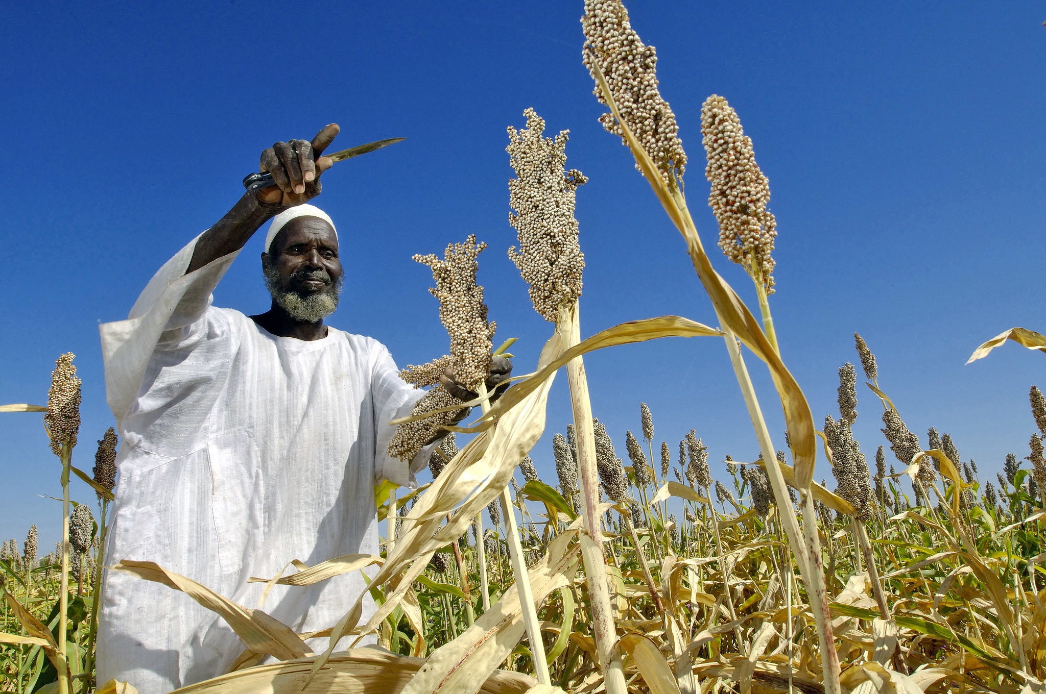
How to transform Africa’s food system
This paper proposes five pathways to help shape and transform Africa’s food systems. It argues that food systems in Africa can be more resilient if their development includes climate adaptation.

Strategies for monitoring and evaluation of climate change adaptation: localizing global approaches into Andean realities
How are global approaches on monitoring and evaluation to climate change adaptation being localized in the design and implementation of public policies and territorial strategies for adaptation in the Andes? Learn more in this study.

Mountains Connect brief: Experience exchange between the Andes, Alps and Carpathians to explore mountain governance paths for climate resilient development
What can three mountain ranges with different approaches to mountain governance and sustainable development learn from one another? Explore the key outcomes of study visits between the Andes, Alps and Carpathians.
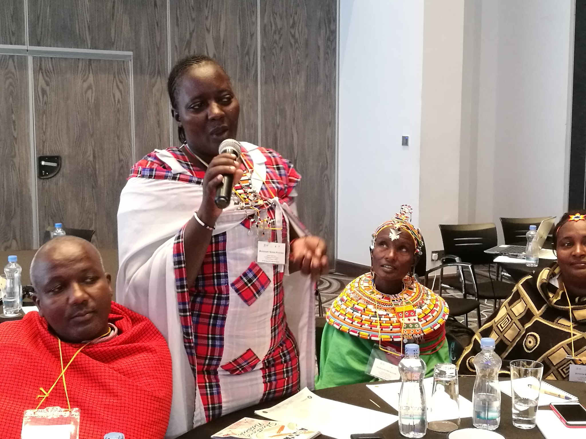
The role of indigenous knowledge in climate change adaptation in Africa
This study documents evidence of the potential of Indigenous and local knowledge in reducing vulnerability to climate change and/or improving the resilience of communities.

Learning from Arts and Humanities approaches to building Climate Resilience in the UK
This book chapter shares insights from five arts and humanities-led UK Climate Resilience Programme (UKCR) projects, presenting key learnings and pathways for future research and policy interventions.
Engaging with the politics of climate resilience towards clean water and sanitation for all
In this journal article, world-leading water specialists from academic and practitioner communities propose a roadmap to meaningfully engage with the complex politics of climate resilient water security.
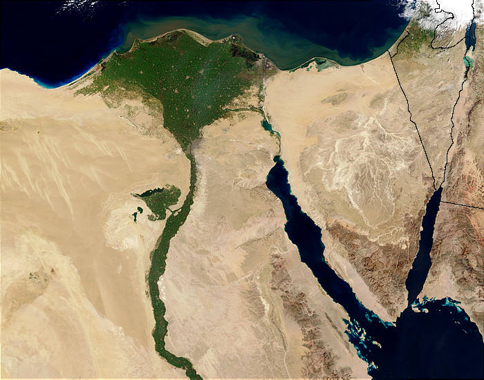
Cooperative adaptive management of the Nile River with climate and socio-economic uncertainties
This article presents a planning framework for adaptive management of the Nile infrastructure system.
What insights can the programme share on developing Decision Support Tools?
chapter discusses some of the key findings with respect to the development of Decision Support Tools (DSTs) from across the UKCR programme, including challenges and gaps in understanding to inform future work.